A hamlet at the foot of the pic Saint-Loup
Le Triadou is a small village of 737 inhabitants, nestled 15 km north of the centre of Montpellier, at the foot of the Saint-Loup peak, in a communal territory of 6.3 square kilometers. Its inhabitants are called Triadounains and Triadounains. The name of the village comes from löccitan triador, the place where cattle were sorted after grazing together : an origin that tells the rural character of the commune, remained one of the smallest in the area. As a rural commune, it has experienced, like most villages on the Montpellierian periphery, a sharp increase in its population since 1962, and is part of Montpellier's attraction area.
The journey takes 33 minutes for 27.7 kilometers
The journey from Saint-Jean-de-Védas takes 33 minutes for 27.7 kilometers, crossing the agglomeration of Montpellier and then the first reliefs of the Saint-Loup peak. It's one of the longest stages in the area : it's better to set it up on a full morning or afternoon rather than on an improvised round trip at the end of the day, because there are no shops on site to help.
From Cassianatis to Triador, a place where cattle were sorted
The ancient name of the parish, Cassianatis, meant "place of oaks". The first written records of the village then appear in a Latinized form of the present name, in the General History of Languedoc : P. de Triatorio in 1193, then Berengarius de Triatorio in 1317 in the cartular of Maguelone. The name occitan, triador, referred to the place where cattle were sorted after common grazing, a pastoral practice typical of this piedmont of the Saint-Loup peak, now replaced by a dispersed residential habitat.
The Eagles of Bonelli of the High Warrigues
The territory of the Triadou belongs to the Natura 2000 area of the Montpelliérais high garrigues, a 45,444 hectare area that houses three pairs of the Bonelli Eagles, or 30% of the regional population of this protected raptor. It is a rare rapace, become one of the symbols of the protection of the garrigues around the massif, which hikers and curious nature sometimes cross by raising their eyes towards the ridges.
A reduced economy at village level
Only 39 establishments are registered in the Triadou, of which 33.3% are in specialized, scientific and technical activities, or 13 out of the total. Agriculture, oriented towards viticulture, occupies 227 hectares divided between four farms in 2020, compared to six in 1988 : a decline comparable to that observed throughout the department. The village itself is limited to a few streets around the church of Saint Sebastian, without any other tourist equipment or local business, making it a step to combine with a nearby village rather than a destination alone.
A territory drained by four streams
Le Triadou is crossed by the Lirou, the Terrieu, the creek of the Cross and the stream of Yorgues, which draw a small hydrographic network typical of the piedmonts of the Pic Saint-Loup, exposed as the whole sector to a Mediterranean climate. The territory covers three natural areas of ecological interest : the Terrieu valley and the Restinclières estate, on 325 hectares shared with a neighbouring municipality, the Salade agricultural plain, on 273 hectares divided between three communes, and the plains and garrigues of the North Montpelliérais, a vast set of 13,097 hectares covering 25 communes of the Hérault and Gard. This mesh explains the low density of constructions and the quiet character of the village, away from the main roads.
Studio or duplex before the trip to the Saint-Loup peak
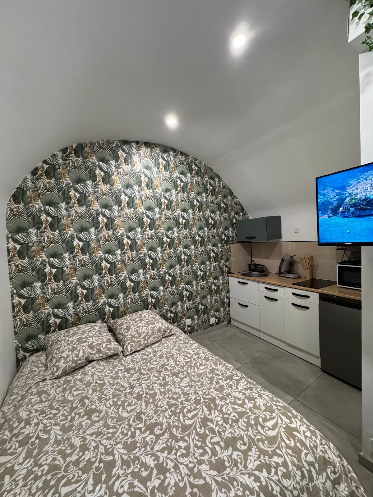
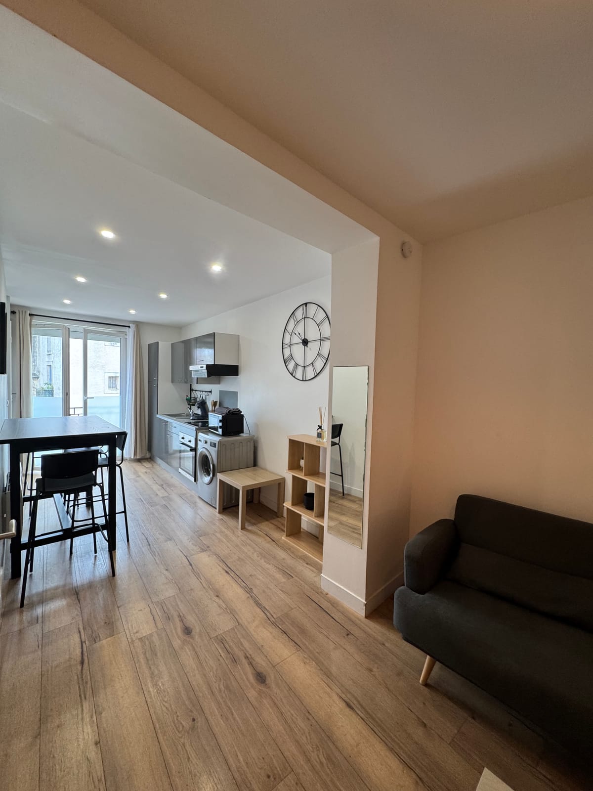
For a day trip to the Saint-Loup peak, the studio Just two, with its workspace to prepare the itinerary before leaving early in the morning. For a group who came to observe the wildlife of the garrigues, the duplex offers three beds and a kitchen equipped for the return walk, at the end of the day. The page devoted to Prades-le-Lez details an intermediate step on the route to the Saint-Loup peak.