At the foot of the Saint-Loup peak
Saint-Mathieu-de-Tréviers has 4,979 inhabitants on 21.8 square kilometres, about 20 km north of the centre of Montpellier, on the departmental road 17. The territory mixes a plain where the main agglomeration developed and, on its western edge, the first flanks of the St. Loup peak. Although the former cantonal capital is the neighbouring town of Matelles, Saint-Mathieu-de-Tréviers is now more populated and holds a more important place thanks to its position as a crossroads of departmental roads.
From the accommodation, 36 minutes to the garrigue
The journey to Saint-Mathieu-de-Tréviers is 30.1 kilometres and about 36 minutes by car from Saint-Jean-de-Védas. An exit to consider for a day of hiking or prehistoric discovery rather than an express round trip.
Man of Neanderthal and the castle of Lebous
The rich prehistoric past of the commune begins with the man of Neandertal, installed in the cave of the Hortus from 55,000 years B.C.E., at the foot of the eponymous cliff overlooking the village. A statue-menhir, exhibited in the hall of the town hall, bears witness to a human presence 5,000 years ago. The Château du Lébous, an archaeological site classified as historical monuments, corresponds to a fortress dating from the 14th century B.C.E., with several towers and a 50 by 75-metre enclosure, a unique construction for this period.
A thousand years of history, from Montferrand Castle to Town Hall
In 1090, the Count of Melgueil completed the construction of the Château de Montferrand, with his chapel dedicated to Saint Mathieu, who gave his name to the hamlet formed at his foot. In 1215, the county passed to the bishopric of Maguelone. In 1574 the Calvinists took over the castle and caused many damage in the village, before Antoine de Cambous took it back for the bishop ten years later. In 1660, the parish of Saint-Martin-de-Tréviers became the commune of Saint-Mathieu-de-Tréviers, while the town hall did not settle permanently in Tréviers until 1884.
The Madeleine du Pic and Lake Cécéles
On the gourmet side, the Madeleine du Pic, a sweet cake scented with honey and almonds, takes its name from the neighboring massif. On the nature side, the lake and the natural site of Cécéles offer a quiet break, in a territory covered by several Natura 2000 areas, including the "pic Saint-Loup" itself, known for its cliffs housing endemic plant species.
A service economy and local personalities
Saint-Mathieu-de-Tréviers had 509 establishments as at 31 December 2019, 114 of which, or 22.4% of the total, were in administration, education and health, compared with 14.2% in the department. The number of farms increased from 40 in 1988 to 15 in 2020, while the agricultural area used remained stable at around 556 hectares. Among the figures related to the commune were Gérard Saumade, born in 1926 and died in 2012, and his brother Claude Saumade, born in 1934 and died in 2005. Under the cliff of the Hortus, several wisigoth cemeteries of the fifth century were also identified, including a sarcophagus preserved today in the garden of the communal house, a few steps from the statue-menhir exposed in the hall of the town hall.
Duplex for a family hike at the pic Saint-Loup
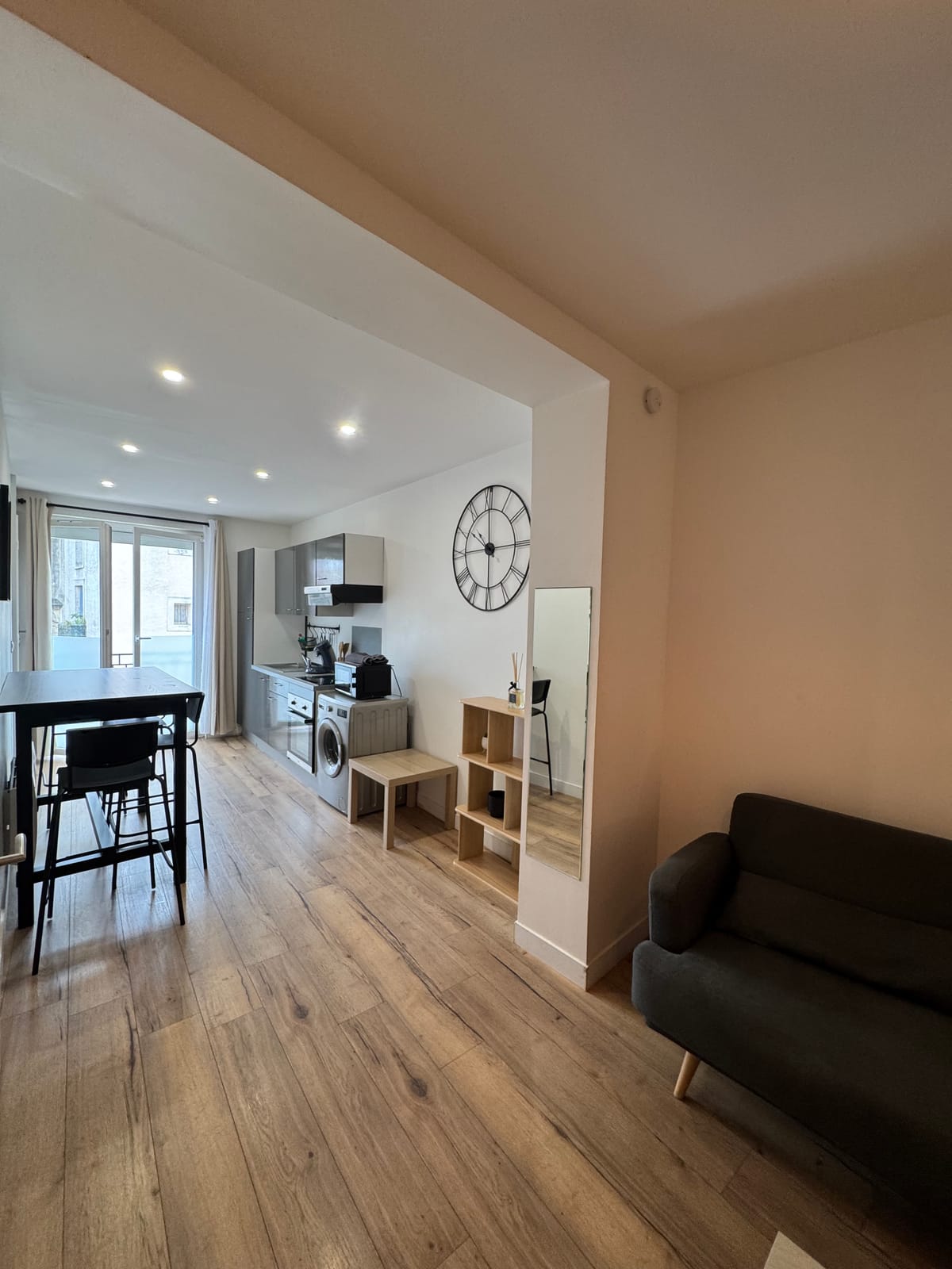
For a day of walking to the Saint-Loup peak or visiting the Château du Lébous, the duplex offers the necessary space for a family, with two bedrooms and a washing machine for hiking outfits. On two, the studio remains a simple option for the same exit, with its kitchen equipped to prepare a picnic before leaving.
To continue towards the massif, the pages dedicated to Materials and Cazevieille details the neighbouring communes of Saint-Mathieu-de-Tréviers.