A village on Bellevue Hill
Saint-Hilaire-de-Beauvoir has 461 inhabitants on a territory of 4.6 square kilometres, on the northeast edge of the Hérault, only 4 kilometres from the Gard department. The village leans on the side of a hill whose summit, named "Bellevue", peaks at about 85.9 metres, on a territory of 469 hectares strongly eccentric to the rest of the canton of Saint-Gély-du-Fesc.
Its inhabitants used to have the nickname "Lous piou-piou", the small birds, a mockery way to designate heads in the air, stunned. A book, "Un village sans histoire(s), published between December 2007 and February 2008, tells the history of the village in the form of an aeditor.
36 minutes to the edge of the Gard
From Saint-Jean-de-Védas, it takes 34.2 kilometres and about 36 minutes to reach Saint-Hilaire-de-Beauvoir, one of the longest routes to the northeast of the area. The village is located in the canton of Saint-Gély-du-Fesc, near Saint-Jean-de-Cornies and Sussargues.
This outposted position makes it a step to combine with other neighbouring villages rather than an isolated destination, so as not to multiply the long journeys from Saint-Jean-de-Védas. The village has 44 active establishments, 14 of which are specialized and administrative, or 31.8% of the total, compared to 17.1% in the department.
The church Saint-Hilaire and a name that has changed several times
The church of Saint-Hilaire, an ancient Romanesque church dating back to the twelfth century, carries a bell tower added in 1908, topped by an iron campanile in the shape of an arrow culminating at about 25.50 meters. It is reminiscent of those of the neighbouring villages of Saint-Geniès-des-Mourgues or Valergues.
The name of the village has varied a lot in time : Follones originally, on the former determinant Folhos which means deciduous or tufted, then Saint-Hilaire de Foulhous, before becoming Saint-Hilaire-de-Beauvoir by decree on October 8, 1958. The commune owes its first name to Hilaire de Poitiers, bishop of the fourth century, to whom its church is dedicated before the tenth century; Beauvoir comes from the occitan toponym "beautiful vezer", attested in Latin forms from 1323, then 1332, 1529 and 1668, before settling around the nearby summit of Bellevue.
A municipality still largely agricultural
Eight farms have their headquarters in Saint-Hilaire-de-Beauvoir in 2020, compared to 18 in 1988 for a used agricultural area of 196 hectares oriented towards viticulture. This decline is comparable to that observed in the other villages of Soubergues, where the vine is declining in favour of a more residential habitat, oriented towards Montpellier rather than to the exploitation of the terroir.
A natural area of ecological, faunistic and floral interest is recorded in the commune : the "Platforms de Beaulieu et Saussines", which cover 1,986 hectares spread over 7 communes in the area. It is one of the few natural heritage features listed for this small 469-hectare territory, marked by the relief of Puech de l'Esperu.
For whom this base makes sense
- An interest in small villages without official history : Saint-Hilaire-de-Beauvoir is visiting for his calm and Romanesque church.
- A loop in the Soubergues The village is easily combined with Saint-Jean-de-Cornies and Sussargues.
- A stay that explores the borders of the Hérault : proximity to the Gard adds a real change of scenery.
- A curiosity for ancient toponymies The passage from Follones to Beauvoir illustrates the linguistic history of the villages in the area.
Studio or duplex for an exit to Saint-Hilaire-de-Beauvoir
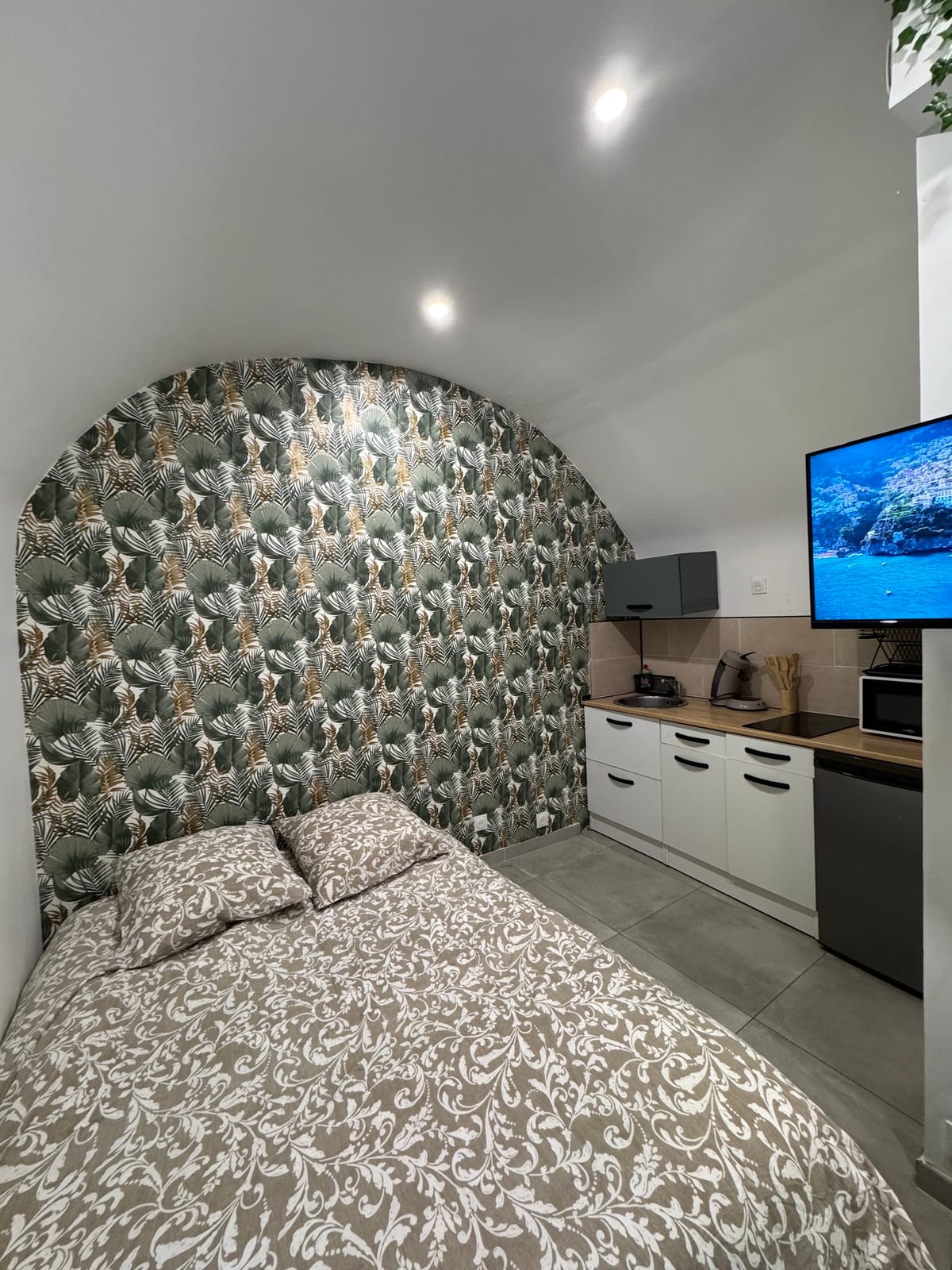
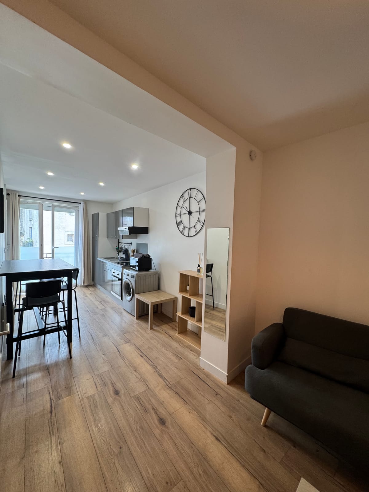
On two, the studio suitable for a day in this remote area, with its kitchen equipped to prepare the return journey, since the village does not offer regular shops. Family, the duplex offers 2 bedrooms and a washing machine, convenient for a stay of several days in the northeast of the Herault. Both units are in downtown Saint-Jean-de-Védas, with quick access to the A9. Page on Saint-Jean-de-Cornies complete the itinerary in the Soubergues.