A hill village in the Soubergues
Saint-Jean-de-Cornies has 858 inhabitants in a territory of 3 square kilometres, one of the smallest in the area. The village is built on a hill top about 124 meters, in the Garrigues region, south-east of the Pic Saint-Loup and in the southern foothills of the Cevennes, not far from the small Camargue of Lunel.
The territory belongs to the "Subergues", a small agricultural area in northeastern Herault where agriculture remains oriented towards polyculture and poly-breeding. Three farms based in the commune are still recorded in the last agricultural census, compared with 20 in 1988, a decline comparable to that observed in neighbouring villages in the same area. It is a rural village that is far removed from the major developments of the Montpellieran agglomeration.
Thirty-six minutes northeast of Herault
From Saint-Jean-de-Védas, it takes 33.6 kilometres and about 36 minutes to reach Saint-Jean-de-Cornies, a journey comparable to that of Vendémian but in the opposite direction, towards the northeast.
The village is in the same area as Saint-Geniès-des-Mourgues, Saint-Hilaire-de-Beauvoir and Sussargues, which allows several small villages of garrigue to run along the same route rather than to go there alone. No quick axis directly reaches the village, which explains a journey time close to that of Vendémian despite a slightly higher distance.
A View of the Northern Montpellieran Warrigues
Perched on its hill, the village offers a panorama of the surrounding garrigues, at the crossroads between the wine country of north Montpellieran and the first reliefs that announce the Cevennes. It is an area still little frequented by tourism, which makes it a quiet stage for those seeking to leave the usual circuits around Montpellier.
The village has 64 active establishments, 14 of which are specialized, scientific and technical, a sector which accounts for 21.9% of the total, compared with 17.1% at the department level. This is a sign of a residential economy rather than tourism or commerce.
A reduced agriculture, a discreet identity
Its inhabitants are called the Cornesians. Local agriculture, oriented towards polyculture and polyfarming, has an area of 142 hectares used, compared with 20 farms recorded in 1988 for only 3 today. The musician known as Ricoune has a time worked at the manade of the village, one of the few notable mentions associated with Saint-Jean-de-Cornies, which also remains away from the department's major tourist routes and its most frequented heritage routes.
For whom this base makes sense
- A desire for calm and panorama : the village is suitable for a short stop rather than a long stay on site.
- A loop in the northeast garrigues Saint-Jean-de-Cornies combines well with Saint-Hilaire-de-Beauvoir and Saint-Geniès-des-Mourgues.
- A trip to the area of Castries or Sussargues The village remains a logical step on the same route.
- An interest in small villages without great influx Saint-Jean-de-Cornies remains away from the usual tourist flows of the metropolis.
Studio or duplex for an exit to Saint-Jean-de-Cornies
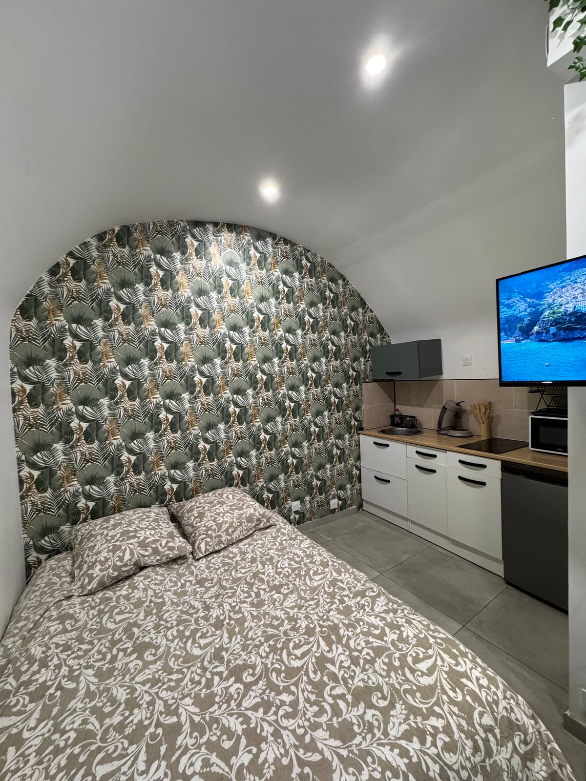
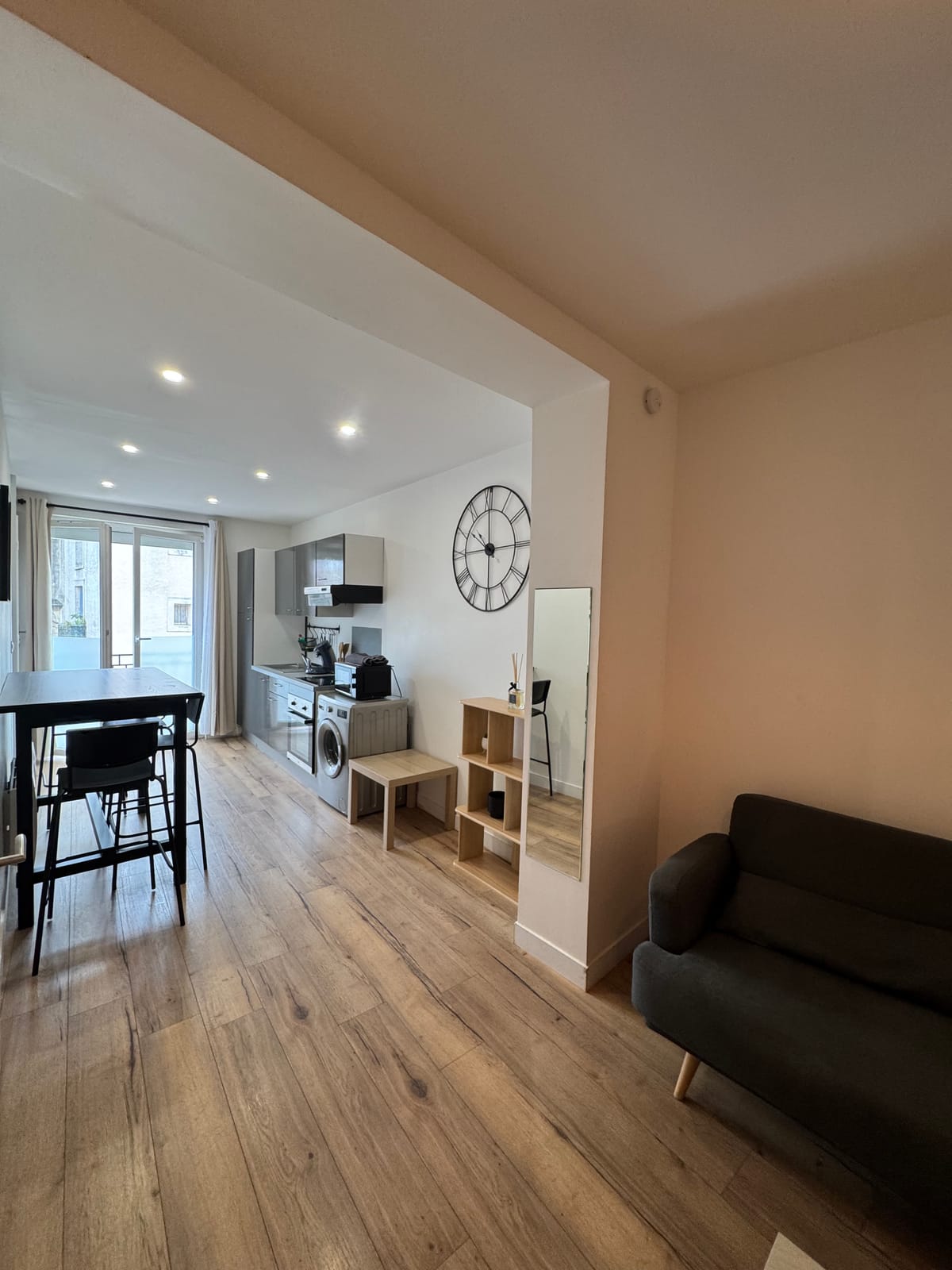
On two, the studio enough for a day in the north-east garrigues, with its kitchen equipped for a simple meal on the way back, since the village does not offer regular shops. Family or several, the duplex offers 2 bedrooms and a washing machine, convenient for a circuit of several days in the area. Both units are in downtown Saint-Jean-de-Védas, with quick access to the A9 northeast of the Hérault. Page on Saint-Hilaire-de-Beauvoir extends the route in the villages of Soubergues.