A hill village 5 kilometres from the Saint-Loup peak
Sainte-Croix-de-Quintillargues has 984 inhabitants on 6.6 square kilometres, 18 kilometres north of Montpellier and 5 kilometres from the Saint-Loup peak. The village occupies a contrasting relief : the hills of Rabat and Puech Pezoul, on argilo-calcar strata, and the large hill of the Suque, composed of limestone of the Jurassic, all covered with garrigues and pinewoods of pines of Aleppo. The Benovia River takes its source at the foot of Puech Pezoul.
36 minutes north of the department
From the accommodation, Sainte-Croix-de-Quintillargues joins in 36.9 kilometers, for about 36 minutes of road, in fluid traffic. The commune is part of the area of the Saint-Loup peak, covered by the Natura 2000 site of the Hautes Garrigues du Montpelliérais.
A 12th century Romanesque church and a deep dolmen
The Romanesque church of the village was consecrated on November 23, 1138. Its stone arch vault replaced a structure destroyed by fire, and two turrets then transformed the building into a fortification. A late Chalcolithic dolmen, searched by Dr. Arnal, as well as remains of cabins of the same period, testify to an ancient occupation of the site. A Gallo-Roman necropolis of the first century was also discovered.
The path of the coalminers, in the garrigues
A 7-kilometre trail, known as coalminers, leaves from the centre of the village and runs along ancient remnants of charcoal and lime production. The rural foyer Les Quintillades, the main association of the village, organized events around this heritage for years, including the festival "Lo Garou". Every May, the local mountain bike club also organizes the "Round of Quintilius".
A toll contested in the Middle Ages
In the 13th century, the village was at the heart of rivalries between the Counts of Melgueil, the Bishop of Maguelone and the senechal of Beaucaire for the control of its toll, located on one of the few passages without right of passage competing to the north. In 1789, the Revolution merged a time Sainte-Croix-de-Quintillargues with its neighbour Fontanès, before their separation in 1795. In economic terms, 64 establishments are located in the municipality, 19 of which are in construction. Nine wineries, compared with twelve in 1988, cultivated 629 hectares, and a breeding of Aubrac breed cows replaced the former sheep pastoral activity. The village once kept two cemeteries, one at the foot of the church and the other, called the poor, at the location of the present green space near the multipurpose hall. A communal well and a common oven complete this heritage, alongside a calvary and sheepfold vaults inscribed on the local heritage map.
For whom this base makes sense
- A hike on the coalfields trail The 7 kilometers of the circuit run in half a day from the village.
- A Romanesque church tour The 12th century building and its prehistoric dolmen combine in a heritage exit.
- A quiet base near the Saint-Loup peak The massif remains 5 kilometers from the village, 36 minutes from the accommodation.
Studio or duplex for this stay
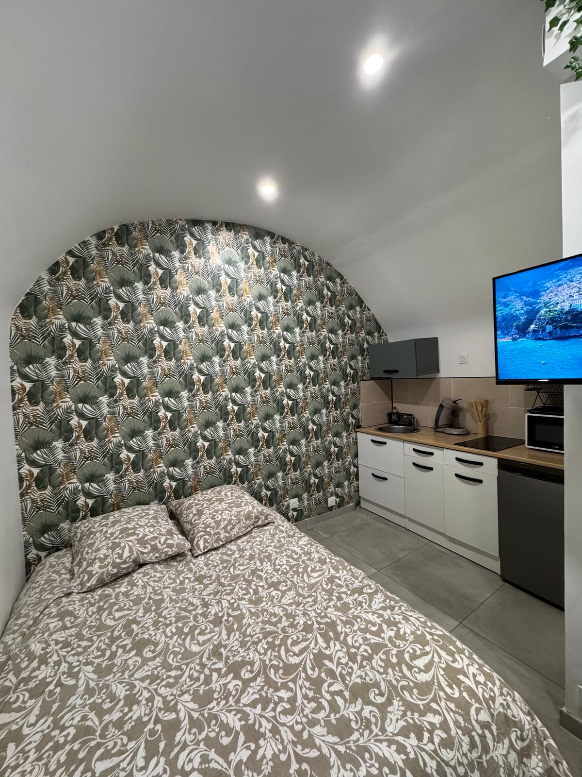
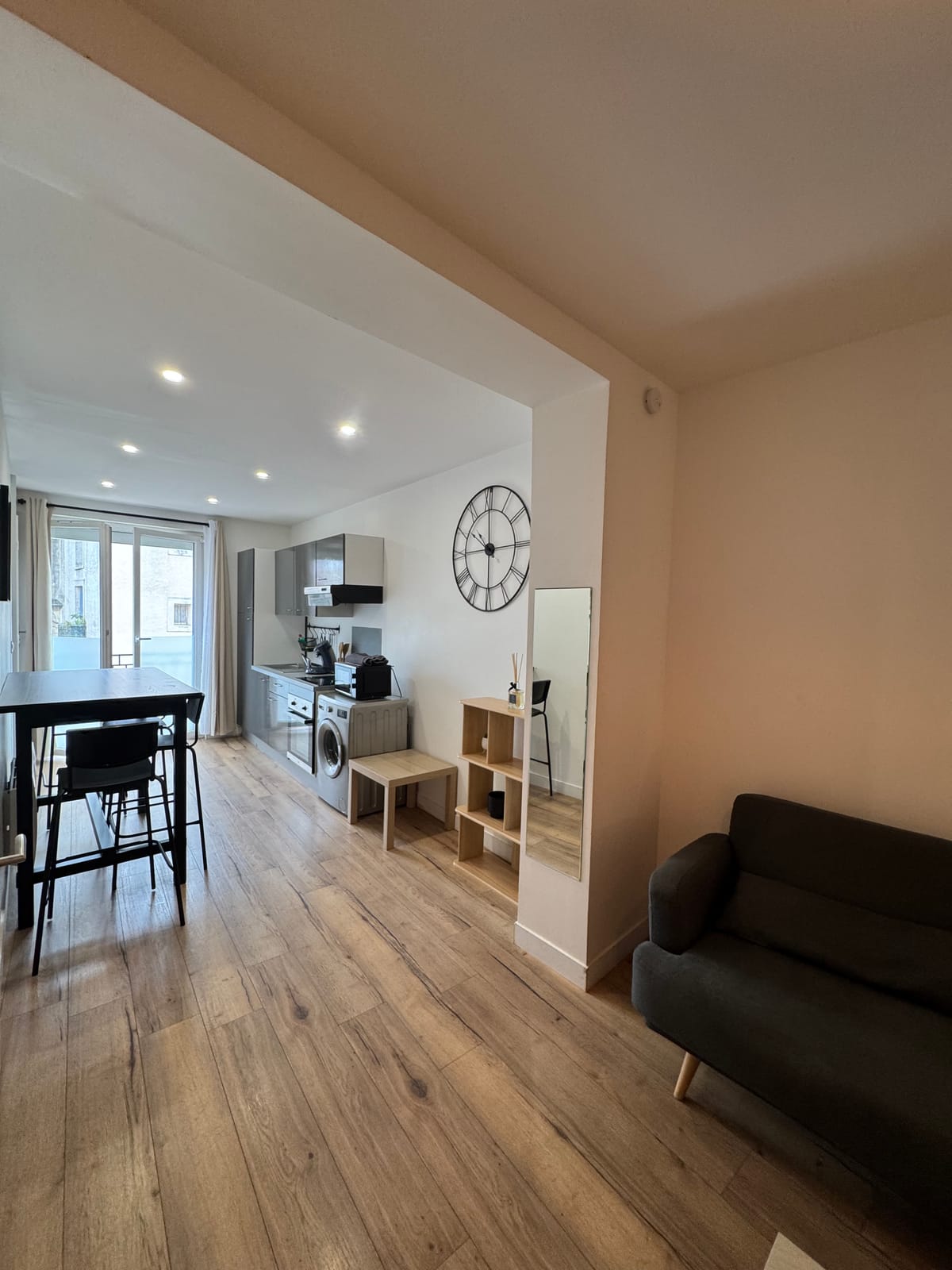
For a hike on the coalminers' trail, the studio Just two, with its equipped kitchen to prepare a meal for the return. Family, the duplex offers three beds and a washing machine for a stay of several days towards the Saint-Loup peak. Both units are in downtown Saint-Jean-de-Védas, with a self-contained arrival between 5pm and 11pm.
To continue towards the Saint-Loup peak, the page dedicated to Materials complete this exit in the garrigues.