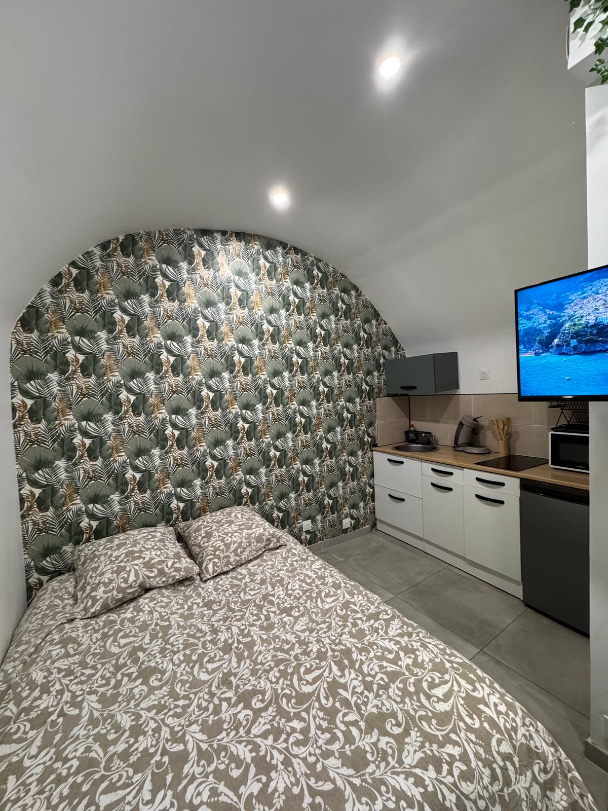
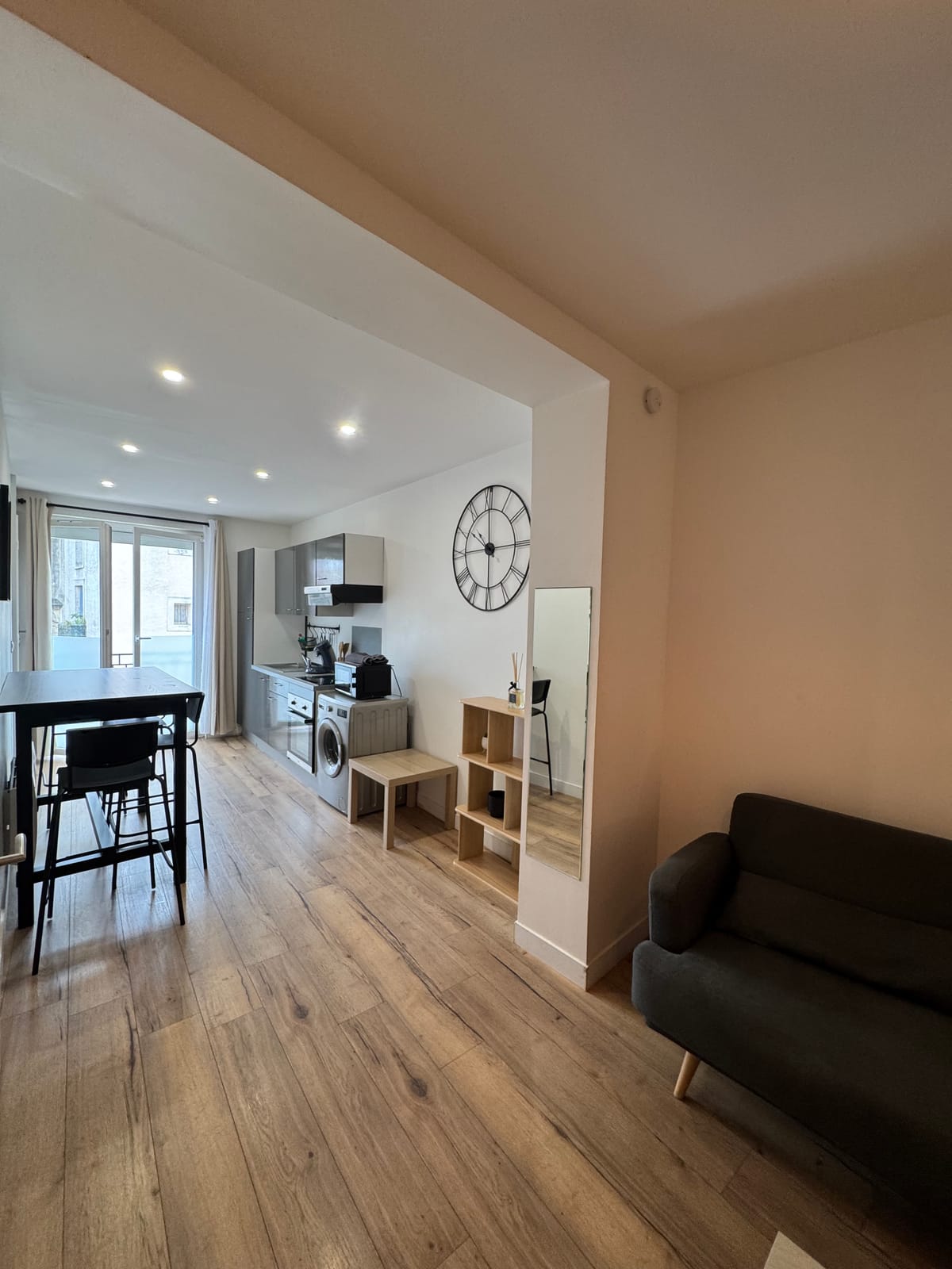
A village of 502 inhabitants in the garrigue
Guzargues has 502 inhabitants on 11.6 square kilometres, making it one of the smallest villages in this area of northeastern Herault, whose inhabitants are called Guzarguois and Guzarguois. The village is also about 14 kilometres north-east of Montpellier city centre, a different landmark from the direct road from the accommodation. The territory is divided between garrigue and cultivable land, around an old village established near départemental 26, between Castries in the southeast, Saint-Mathieu-de-Tréviers in the northwest and Assas in the southwest.
Thirty minutes northeast
From Saint-Jean-de-Védas, the road is 29.9 kilometres long and travels in 30 minutes, to the limit of the Gard department. An exit that offers a completely different face of the Montpellieran hinterland : quiet, little built, widely covered with garrigue.
An eagle territory of Bonelli, marked by the fire of 2010
On 30 August 2010, a forest fire ravaged about 3,000 hectares of garrigue and pine forest around Guzargues and surrounding municipalities. The municipality remains concerned by the Natura 2000 site of the high garrigues of Montpellierais, 45,444 hectares which house three pairs of Bonelli eagles, or 30% of the regional population, as well as the protected area of the Costières de Nîmes.
The Church of St. Michael and Space the Pleiade
The Romanesque church of Saint Michael is recognizable by its bedside and sculpted tympanum; It has been listed as historic monuments since 1971, a rare heritage for such a small village. For the life of the village, Espace la Pléiade brings together a media library of 1,500 works and a multi-purpose room that hosts activities and events.
A Gallo-Roman name and a village that stretches
The name Guzargues derives from that of a Gallo-Roman domain, the Latin gentile Acutius increased from suffix -anicis, attested since about 922 in the form of villa Agucianicis. Guzargues joins the community of communes of the Grand Pic Saint-Loup, as well as a joint water management union and a school union shared with Assas. The old village has developed near departmental 26, and recent constructions of individual houses have settled all around, as well as along a road about one kilometre north, towards the Lirou. The population has increased from the 489 inhabitants recorded in 2011 to the 502 inhabitants of 2023, a moderate rate for a municipality that remains rural, in a communal territory that represents 1,173 hectares. The Communal Wood and the relief of the Grand Devès complete the natural landscape of the commune, suitable for the promenade, as well as the Font de Salaison and Font de l'Euze, a natural area of ecological interest of 324 hectares that borders the village. In the 17th century, the fief of Figaret, which represented nearly 600 hectares of the territory, was attached to the marquisat of Castries, erected in March 1645 for the seigneur René-Gaspard de La Croix de Castries, an ancient trace of the feudal organization of the area.
A small, service-oriented economy
44 establishments are located in Guzargues, of which 15 are in specialized scientific and technical activities, or 34.1% of the total, well above the departmental average of 17.1%. Twelve farms had their headquarters in the municipality in 2020, compared with 8 in 1988, on a used agricultural area of 318 hectares, compared to 152 hectares thirty years earlier, a rhythm that accompanies the still dominant viticulture of the municipality.
For whom this base makes sense
- A desire for complete silence, away from the axes, 30 minutes from the tram and shops of Saint-Jean-de-Védas.
- An ornithological outing in the high garrigues, on the territory of the eagles of Bonelli.
- A stage between Guzargues and the more built villages of Castries or Teyran, to be combined in the same day since the studio or the duplex.