La Boissière, at the crossroads of five roads
La Boissière has 1,072 inhabitants, in the hills that separate Montpellierin from the Hérault Valley, about five kilometres east of the capital of Aniane Township. The village occupies the star crossing of five departmental roads : towards Argelliers in the north, towards Montpellier by Montarnaud in the east, towards Saint-Paul-et-Valmalle in the south, towards Aumelas and the national road 109 in the west, and towards Aniane in the northwest. It is a simple landmark to locate the town : a rural crossroads, away from the agglomeration, surrounded by forest on three sides, far from the bustle of the coast and Montpellier. The Boissière has seen a sharp increase in its population since 1962, a movement that has transformed this village from farming to farming.
The valley of Coulazou, between forests, mas and lake
The communal territory, with an area of 24.5 square kilometres, extends north from the national road 109, on a central valley surrounded by three forest massifs which peak more than 260 metres north and east. To the west, the Puech Bartelié reaches 367 metres, where a telecommunications tower is installed. In the plain, where habitat and crops are concentrated, several streams reach the Coulazou, which then leaves the commune towards Mosson. The lake of La Boissière and several pools, including the pond of Laquissol and the pond of the Mourgues, punctuate this landscape of plain and garrigue, alongside the Puech Haut, the Travers des Romarins and a lavogne, as many reliefs and water points that mark the paths of the commune. Around two old farmhouses have developed two hamlets of recent villas, Mas d'Alhen in the south and Mas d'Agrès in the east.
A missing railway, a hiking trail found
From 1894 to 1949, a passenger train crossed the plain of La Boissière, on the line of local interest between Montpellier and Rabieux, a service which has now disappeared but whose memory remains marked in the landscape. The track has since disappeared, but its route now serves as the base, between the village and Aniane, on the big hiking trail number 653, the road of Arles. The walkers towards Santiago de Compostela thus cross the commune, from the Montarnaud road to the east to the old railway to the west.
The church of Saint Martin and the chapel of Saint Louis de Gonzague
The built heritage of the village, away from the main tourist routes, is divided into two buildings : the Saint-Martin church, referred to in the general inventory of the Occitanie region and the Palissy base for several objects that it preserves, and the Saint-Louis-de-Gonzague chapel. These are modest landmarks, like a village that has kept its rural character despite the proximity of Montpellier. The municipality has 99 establishments, of which 30.3 per cent are in specialised activities and administrative services, 30 out of the total, a sector which remains the first employer far ahead of agriculture. It still had 33 farms in 1988, compared with 18 in 2020, on a used agricultural area increased from 291 to 168 hectares.
Join La Boissière from the accommodation
La Boissière is 23.8 km from the accommodation, 26 minutes by road in flowing traffic, crossing the villages of western Montpellieran before reaching the forest hills.
Studio or duplex for a stay near La Boissière
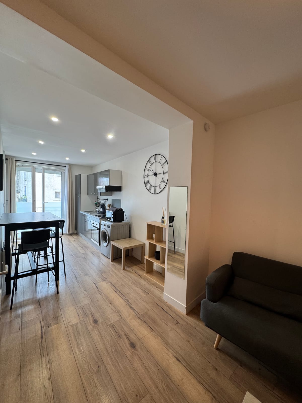
After a stop on the way to Arles, for a couple of walkers, the studio enough, with its workspace to prepare the next step and its kitchen equipped for a simple meal on return. The duplex Better suited to a group that runs several days of walking, with its washing machine and three beds to blow between two stages. Both units are located at the same address in the centre of Saint-Jean-de-Védas, with quick access to A709 and A9 west of the department.
For the next step on the same road, the page dedicated to Montarnaud details access to this village, closer to the agglomeration.