A rural village between two geological eras
Saint-Paul-et-Valmalle has 1,394 inhabitants and covers 12.8 square kilometres. The communal territory is divided by an east-west fault : Tertiary land in the north, Jurassic land in the south. It is a rural municipality, which is kept away from the main roads and is part of Montpellier's attraction area without having the density. It is located in the agricultural region of Garrigues, which occupies part of the centre and north-east of the department, where the technical-economic orientation remains polyculture and polyfarming. The population has increased sharply since 1962, as in most communes near Montpellier, without Saint-Paul-et-Valmalle becoming an urban municipality.
Eighteen minutes from housing
From Saint-Jean-de-Védas, the road measures 18.4 kilometres and runs in 18 minutes. It is a journey time comparable to that of several villages in western Montpellieran, for a much more rural and quiet destination, at the foot of the causse d'Aumelas.
The hamlet of Valmalle and the village church
To the south of the village, the hamlet of Valmalle is located near the communal boundaries with Cournonterral and Aumelas, accessible by department 111E1. This hamlet remains inhabited year-round, away from the main village, in a landscape of garrigue and vineyards. In the village itself, the Church of the Conversion of Saint Paul is referenced in the Merimée base and in the general inventory of the Occitanie region, with several objects listed in the Palissy base.
A territory of Bonelli eagles and bats
The municipality is concerned with two Natura 2000 sites : the Moure and Caussian mountains of Aumelas, 10,694 hectares where herds maintain Mediterranean lawns and live seven species of bats, three of which are of Community interest, and the Moure and Aumelas scrublands, 9,015 hectares which house a breeding pair of Bonelli eagles. Four natural areas of ecological interest complement this scheme : the northern foothills of the causse d-Aumelas, 219 hectares, the garrigue du Mas Dieu, 248 hectares in three communes, the causse d-Aumelas and the montagne de la Moure, 16,237 hectares in sixteen communes, and the wooded garrigues of the northwest of Montpellierais, 16,219 hectares in seventeen communes. Four farms had their headquarters in the commune in 2020, compared with 22 in 1988 on a used agricultural area of 107 hectares.
A mining risk inherited from old farms
The Geoderis Scanning study, carried out in 2008 and completed in 2015, identified a mining risk in the municipality, linked to the underground cavities left abandoned after old farms. This risk does not concern a one-time stay, but it recalls that this land with a discreet relief, divided between the Tertiary in the north and Jurassic in the south, also experienced mining activity before becoming a quiet causse again.
A remarkable oak and a nearby economy
A natural site is listed under the name of Chêne de Vedas, a local landmark for which the commune is walking. In economic terms, 124 establishments are located in Saint-Paul-et-Valmalle, of which 30 are in commerce, transport, accommodation and catering, or 24.2% of the total, slightly below the departmental average of 28%.
For whom this base makes sense
- A desire for garrigue and silence, 18 minutes from the tram and shops of Saint-Jean-de-Védas.
- A natural exit to the caussus of Aumelas, observing the raptors that nest in the nearby cliffs.
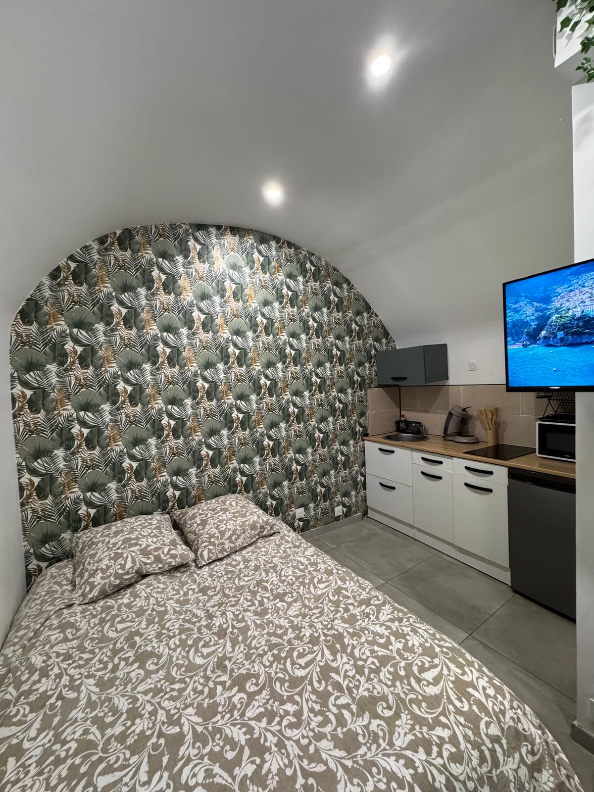
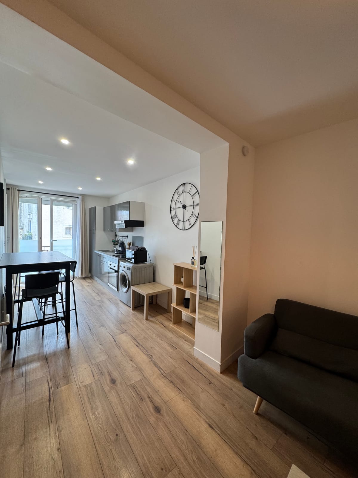
- A starting point towards the hamlet of Valmalle and the villages of the causse, in the studio or the duplexat the same address in the city centre.