The most discreet of the villages of the pic Saint-Loup
Mas-de-Londres has 674 inhabitants on 19.2 square kilometres, and is located at the foot of the Saint-Loup peak, in the north-east of the Herault department. Its inhabitants are called the Castelains, a name inherited from the old name of the commune, Château-de-London, changed in Mas-de-Londres to the French Revolution. The commune is part of Montpellier's attraction area, although very far from its centre.
35.8 kilometers and 39 minutes, the longest stop
35.8 kilometers and 39 minutes separate Saint-Jean-de-Védas de Mas-de-Londres, the most remote municipality of this selection, just northeast of the department. The journey gradually climbs from the suburbs of Montpellier to the first foothills of the limestone massif, and deserves to be set on an entire day rather than on an improvised round trip in the evening.
Dolmens and Menhir, an unknown megalithic site
The territory retains a discrete megalithic site : the Lubac Menhir and several dolmens, two of them at the Limit and two at Sauzet. This prehistoric heritage, dating back several millennia to the parish church of Saint-Géraud, cited in 1162 and classified as a historical monument in 1981, tells of a very ancient occupation of the piedmont of the pic Saint-Loup. A protected area of 32.7 hectares, managed by a conservatory of natural spaces, covers part of this limestone massif. The territory also retains several water points typical of the garrigue, including the lake of the Jasse, the reservoirs of the Fraycinède, the pond of the Passas and the pond of the Liquière, scattered between the mas and the trails.
Castel, a name that has nothing to do with London
Contrary to what his name suggests, Mas-de-Londres had no connection with the English capital : London would come from a name of Gaulish origin, certified in the form Lundrense from 1146, long before the village took its present name. The former international rugby Fabien Galthie, born in 1969, resided in the commune, then named Lo Castèl en Occitan, a name directly inherited from the former Castle of London.
A parish mentioned since 1146
The oldest mention of the church of Mas-de-Londres dates back to 1146. In 1162, a bubble of Pope Alexander III, confirming the possessions of the Abbey of Gellone, already quotes the chapel Saint-Géraud under the name "San Girardi de castro lundrensi". Today, the municipality remains one of the smallest in the sector, with 13 wine-growing farms, compared with 26 in 1988 on a used agricultural area of 428 hectares, a marked decline but less pronounced than elsewhere in the department.
Endemic cliffs and a party in June
The territory is drained by the Lamalou and the Rieutort Creek, and its limestone relief, on 4,430 hectares classified Natura 2000, includes the cliffs of the Saint-Loup and Hortus peaks, which house three endemic plant species. The municipality also covers three natural areas of ecological interest of type 1 : Hortus Mountain, on 1,153 hectares shared between three communes, the plain of Notre-Dame-de-London and Mas-de-Londres, on 3,483 hectares spread over six communes, and the peak of Saint-Loup itself, on 818 hectares, covering 5 communes of the department. Two zones of type 2 add : the wooded garrigues of north-western Montpellierais, on 16,219 hectares and 17 communes, and the Pic-Saint-Loup and Hortus ensemble, on 11,816 hectares and 14 communes, including one in the Gard. Every year, the Festa de Mas animates the village on the second weekend of June. Of the 46 establishments registered in the municipality, 23.9% are in the construction sector, 11 of the total.
Studio or duplex before the climb of the Saint-Loup peak
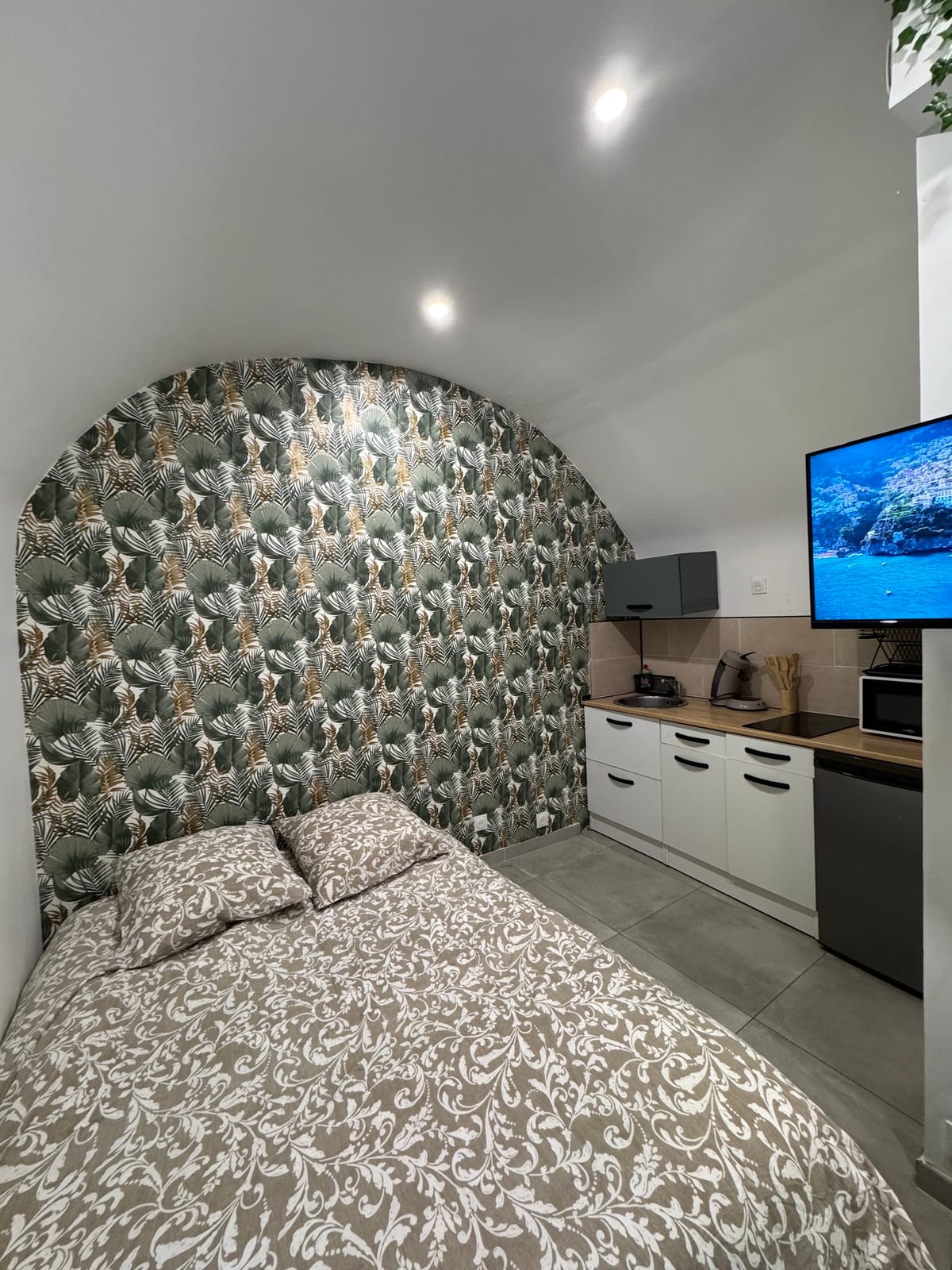
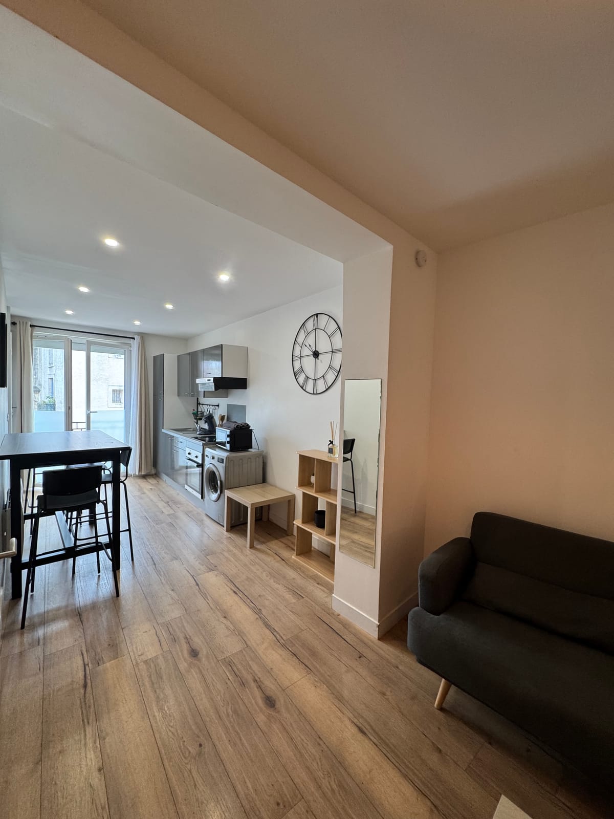
For a day trip to the Saint-Loup peak, the studio Just two, with its workspace to prepare the itinerary before departure. In groups, the duplex offers three beds and a kitchen equipped for hiking return, after a day spent between dolmens, menhir and cliffs of the Saint-Loup peak. The page devoted to Triadou, at the foot of the same massif, completes this stage.