Saint-Bauzille-de-la-Sylve, between sea and mountain
Saint-Bauzille-de-la-Sylve has 947 inhabitants in the Township of Gignac, not far from the banks of the Hérault, after a sharp increase in its population since 1975. The village is located at equal distance from the sea and the mountain, dominated to the east by the imposing mass of the ruins of the castle of Aumelas, visible in clear weather from several streets of the town. Its inhabitants are called Saint-Bauzillois and Saint-Bauzillois.
A tower of the Chappe telegraph on the plateau
At the top of the plateau overlooking the village, at the place known as Pied Cocut, an old tower of the Chappe telegraph has been restored by the community of communes of the Valley of the Hérault. This system of visual signals, ancestor of the electric telegraph, once connected French cities before the arrival of electricity, relaying a message from post to post on sight. From this high point, the view covers the surrounding garrigue and the ruins of the castle of Aumelas, without any modern building disturbing the panorama.
The ruins of Aumelas Castle on the horizon
The castle of Aumelas dominates the eastern horizon of the commune, a presence that marks the landscape without ever getting confused with the village itself, in the manner of a stone sentinel laid on the garrigue. In the village, the chapel of the White Penitents, the sanctuary of Notre-Dame-du-Dimanche and the chapel of Saint-Antoine, on the hill of the same name, complete a discreet but well preserved religious heritage, away from the great tourist routes of the valley of the Hérault. A monument to the deaths of the First World War recalls, as in many villages in the Herault Valley, the tribute paid by the commune.
A municipality remained agricultural
Sixty-one establishments are located in Saint-Bauzille-de-la-Sylve, the construction by forming the largest share, in front of the other sectors of activity identified in the municipality. Agriculture, on the other hand, has seen ups and downs : the number of farms has risen from 70 in 1988 to only 9 in 2010, before rising to 39 in 2020, a recovery rare enough to be highlighted, on a used agricultural area that has more than doubled since 1988. The commune remains attached to the "Visual Plain", a small agricultural area that borders the Hérault coast, an anchor that explains the landscape of vineyards visible all around the village.
For whom this step makes sense
- An orientation hike The Chappe Tower and Saint-Antoine Hill offer rare views of the garrigue and ruins of Aumelas, without crowds to manage.
- Heritage curiosity : few villages of this size keep an optical telegraph tower as well preserved, a subject that speaks to lovers of telecommunications history and ancient engineering.
- A quiet stop on the road to the Herault Valley : the village is ready for a break before continuing to Gignac or Aniane.
Studio or duplex before Saint-Antoine Hill
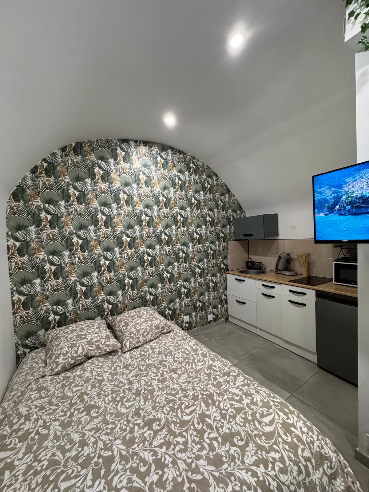
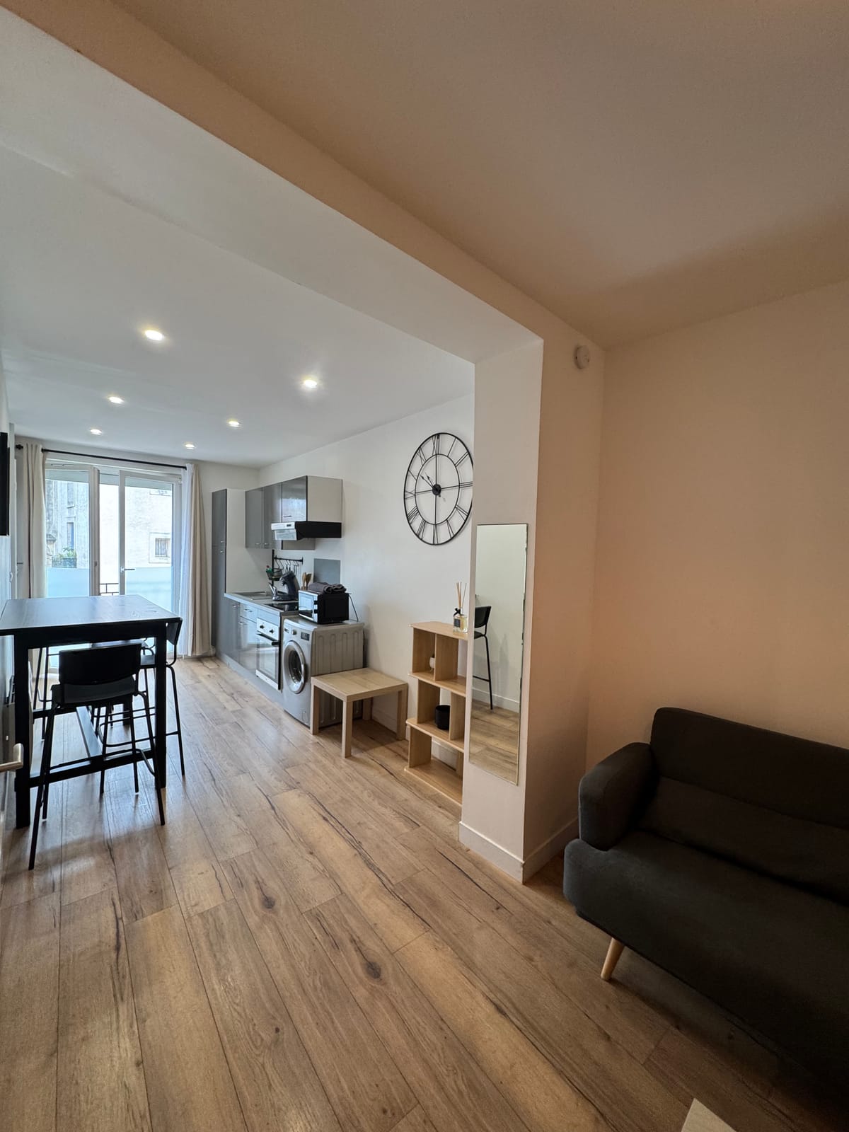
From Saint-Jean-de-Védas, it takes 31 minutes for 35.8 kilometers, a journey that crosses the Herault valley. For a two-way trip to Chappe Tower or Saint-Antoine Hill, the studio enough, with its double bed and kitchen equipped for a picnic before the climb. In groups, the duplex offers two bedrooms and a washing machine, convenient after a day walking in garrigue. Both units are located in the centre of Saint-Jean-de-Védas, with a possible stay from one night and quick access to the A9 to return to the coast. Towards the west, the page dedicated to Montarnaud extends the selection of municipalities in the Mosson Valley and the Hérault Valley.